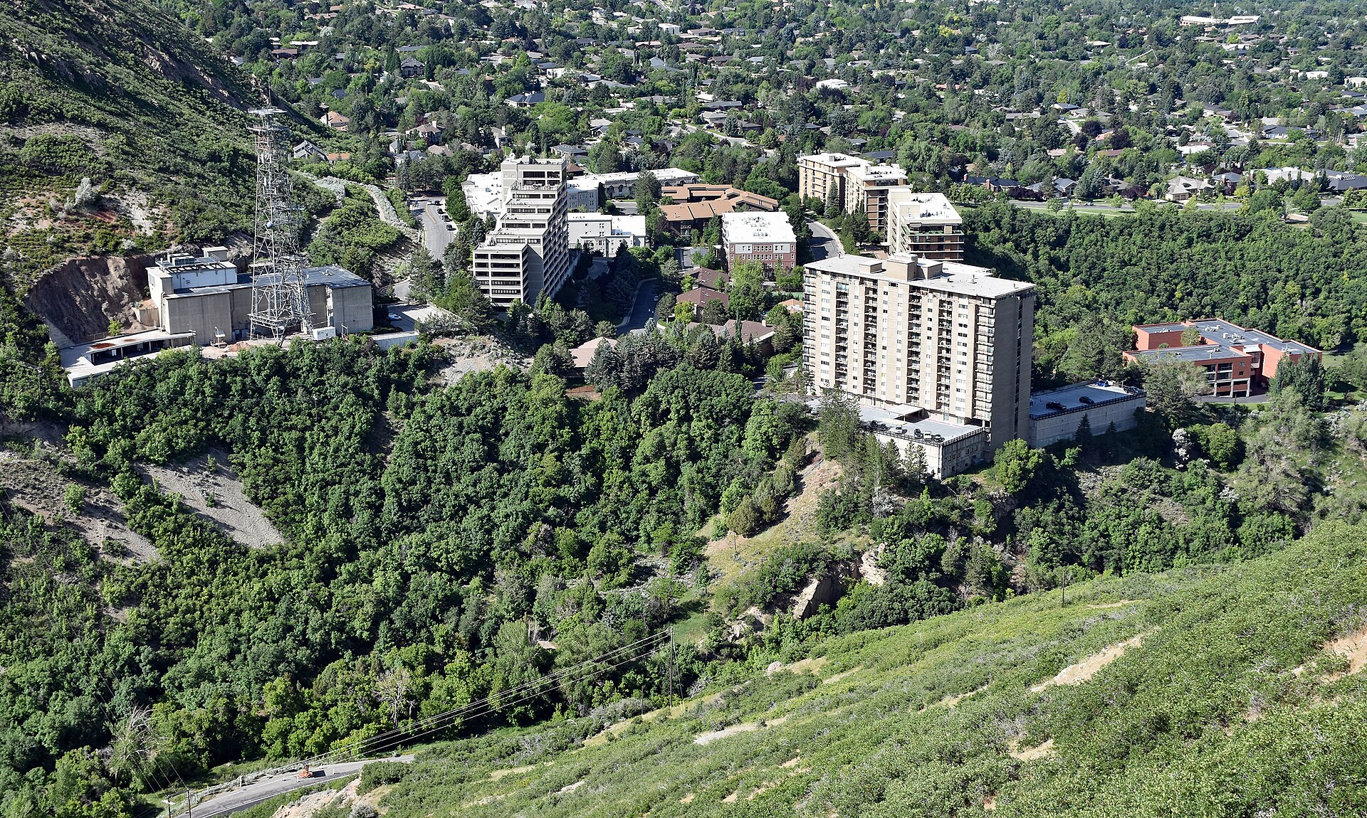
The Wasatch Range runs roughly 160 miles from the Idaho border south to 11,928-foot Mount Nebo, forming the abrupt eastern wall of the Great Basin. About 85 percent of Utah's population lives within fifteen miles of it, along the urban corridor everyone here simply calls the Wasatch Front. The range's name comes from the Ute language and is usually translated as "mountain pass" or "low pass over a high range" — though one linguistic tradition holds it honors a Shoshoni leader whose name, wasattsi, meant "blue heron."
Built on a fault
The Wasatch is a textbook fault-block range. Along the 240-mile Wasatch Fault zone, the Earth's crust is stretching; for the last several million years the valley side has dropped while the mountain block tilted skyward, producing a front that rises more than a vertical mile straight out of the city streets. The fault is still active — geologists map the fresh scarps of prehistoric earthquakes along the mountain toe — and its steady work explains the range's most striking feature: there are no foothills to speak of. The wall simply begins.
Ice sharpened what the fault raised. During the Pleistocene, glaciers gouged the upper canyons into the broad cirques and U-shaped trunks that hold today's ski terrain, while a freshwater inland sea — Lake Bonneville — lapped against the range at elevations nearly a thousand feet above the modern valley floor. When Bonneville catastrophically breached its rim about 18,000 years ago and later shrank to today's Great Salt Lake, it left behind the level terraces, or "benches," that now carry neighborhoods, orchards, and the Bonneville Shoreline Trail across the mountain front.
First peoples
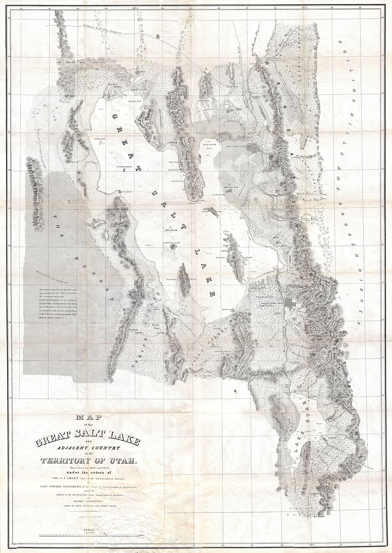
People have lived with this range for at least 12,000 years, from Paleo-Indian hunters along the shrinking shores of Lake Bonneville to the Fremont farmers whose granaries still hide in canyon alcoves. At European contact, the northern valleys — Weber, Ogden, and Cache — were the country of the Northwestern Shoshone, while Ute bands held the central valleys and mountains that would carry their name. Both peoples moved seasonally: fishing spawning runs, gathering camas and pine nuts, and hunting deer and elk in the high basins that skiers now ride in winter.
Settlement, disease, and conflict pushed these nations from nearly all of their Wasatch homelands within three decades of 1847. Their descendants — including the Northwestern Band of the Shoshone Nation and the Ute Indian Tribe — remain active in Utah today, and their languages remain on the land: Wasatch, Uinta, Timpanogos, Oquirrh.
Trappers, trails, and a fort
The first outsiders to record the range were fur men. In 1824–25, Hudson's Bay Company brigades under Peter Skene Ogden — the future city's namesake — worked the Weber River drainage, while American trappers wintered in the sheltered valley the mountain men called Ogden's Hole, today's Ogden Valley, directly below the future Snowbasin. Jim Bridger's party floated down the Bear River in 1824 and, tasting salt water, briefly concluded they had reached the Pacific.
In 1846 Miles Goodyear built Fort Buenaventura near the Weber-Ogden river junction — the first permanent Euro-American settlement in the Great Basin. A year later the Donner-Reed wagon party hacked a rough track down Emigration Canyon, and in July 1847 Brigham Young's advance company followed that same battered trace into the Salt Lake Valley.
Silver and avalanches
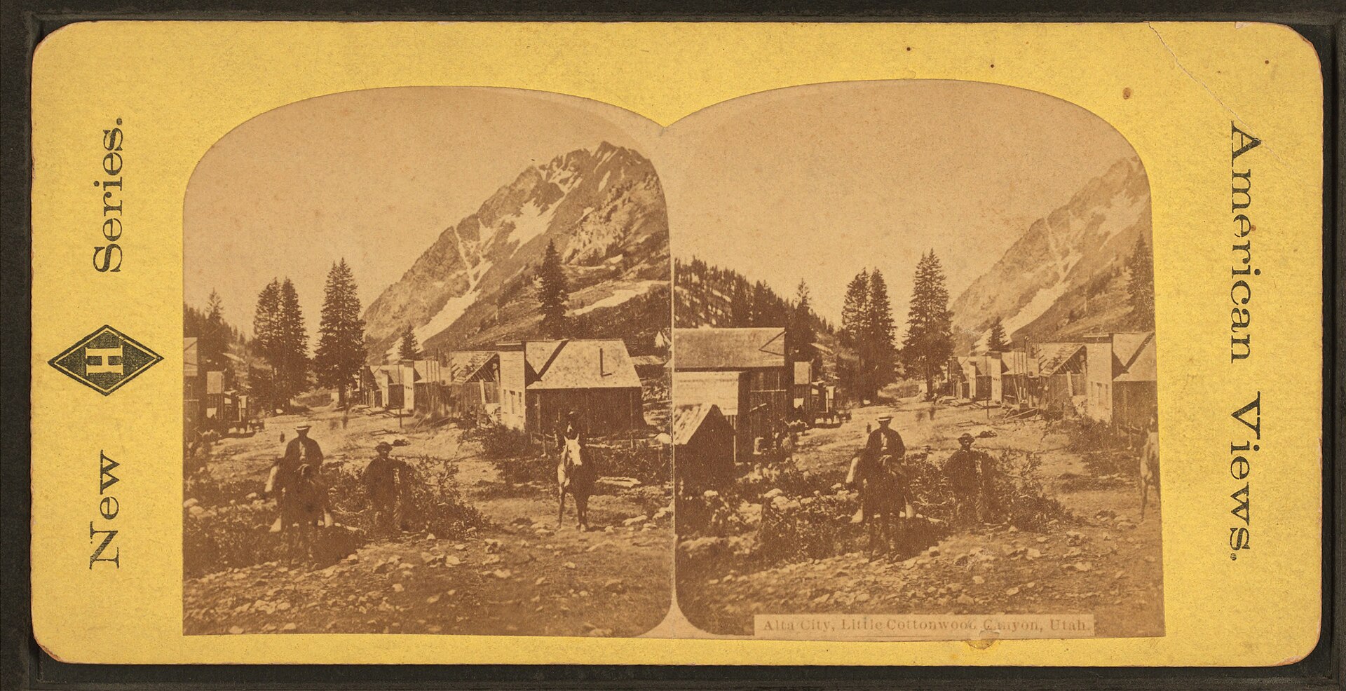
Settlement first treated the canyons as a warehouse — timber, stone, water, and grazing. Then, in the late 1860s, soldiers prospecting under Colonel Patrick Connor struck silver, and the quiet canyons exploded. Alta, at the head of Little Cottonwood Canyon, swelled to a rowdy camp of thousands supplying ore to the Emma Mine; Park City's Ontario Mine became one of the richest silver producers in the West.
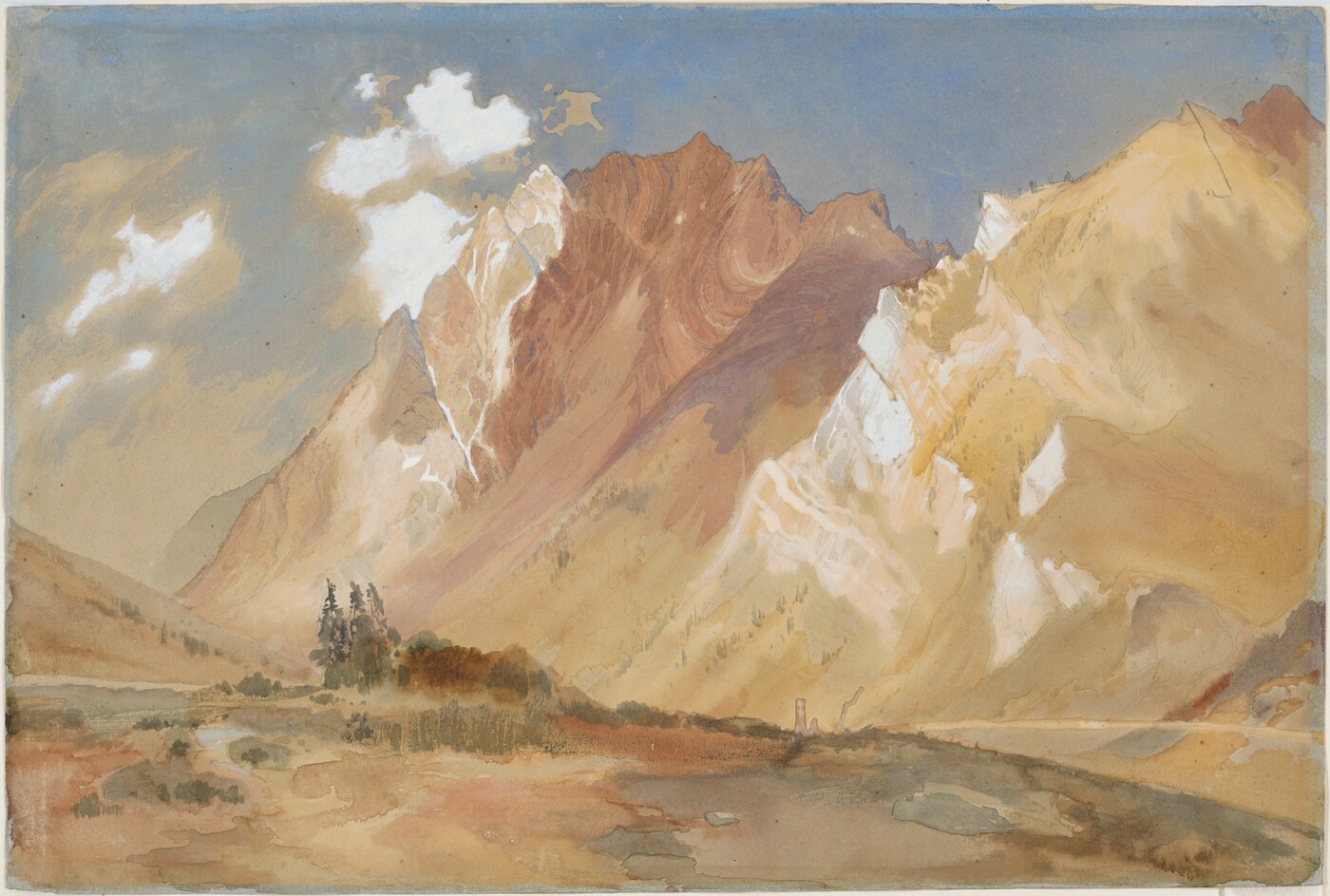
The boom taught the Wasatch a hard lesson about snow. Miners stripped the slopes for timbers and firewood, and with the anchoring forest gone, avalanches repeatedly raked the camps — Alta was struck again and again in the 1870s and 1880s, with dozens killed. Busts followed the crashes of 1873 and 1893, and by the early twentieth century Alta was nearly a ghost town. The same slopes that buried mining camps, though, would soon be recognized as some of the finest ski terrain on the continent — and the miners' old boarding houses and tram lines sketched the blueprint for the lifts to come.
A watershed in crisis — and the birth of Snowbasin
The story of Snowbasin begins not with skiing but with erosion. By the 1920s and 1930s, decades of unregulated grazing had stripped the Wheeler Creek drainage on the back of Mount Ogden nearly bare. Summer cloudbursts tore gullies through the denuded basin and sent mud and boulders through communities below, fouling Ogden's water supply. The city's response became a landmark of American conservation: Ogden bought out the damaged private lands and conveyed them to the U.S. Forest Service so the watershed could be healed.
Beginning in 1938, forest supervisor A. G. Nord directed an aggressive rehabilitation program — reseeding, contour trenching, and grazing controls — with much of the labor supplied by Civilian Conservation Corps and WPA crews. The same crews built the first road into the basin, and planners realized the recovering bowls held superb winter terrain. A 1940 contest chose a new name: Snow Basin. A ski tow had already spun there in 1939, and on November 27, 1940, Ogden's mayor formally proclaimed the "Ogden Snow Basin Winter Playground" open, making it one of the oldest continuously operating ski areas in North America. Alf Engen — the Norwegian-born champion who helped scout ski terrain across the Intermountain West — helped lay out the runs, and his brothers Sverre and Corey opened the area's first ski school in 1941.
The ski century
Skiing in Utah is older than its resorts — mail carriers crossed the passes on eleven-foot wooden skis in the 1870s, and ski-jumping drew thousands of spectators at Ecker Hill near Parley's Summit in the 1930s. Lift-served skiing arrived in a rush at the end of the Depression: Brighton's rope tow in 1936, Alta's Collins chairlift — among the first in the nation, built partly from mine-tram parts — in January 1939, and Snow Basin in 1940. After a brief wartime closure, the areas grew steadily through the postwar decades, joined by Snowbird, Solitude, Powder Mountain, and others as interstate highways and a growing Salt Lake City airport put the canyons within a morning's travel of most of the country.
The 2002 Winter Olympic Games put the range on the world's screens. Snowbasin — transformed by owner Earl Holding's investment in a tram, gondolas, and grand day lodges — hosted the downhill, combined, and super-G races on the Grizzly and Wildflower courses designed by Swiss Olympic champion Bernhard Russi, runs still ranked among the most demanding in the sport. Park City, Deer Valley, Soldier Hollow, and the Utah Olympic Park staged the rest of the mountain program, and the same venues are slated to return for the 2034 Winter Games.
Today the challenge has inverted: the range that once seemed inexhaustible now absorbs several million skier-visits a year plus a metropolitan area of 2.5 million people, and the hard questions are about traffic, water, and how much love a small mountain range can take. The watershed ethic born at Wheeler Creek — heal the land, and the recreation follows — remains the region's guiding idea.
Timeline
- ~18,000 years agoLake Bonneville floods through Red Rock Pass and begins its long retreat, leaving shoreline benches on the Wasatch front.
- 1824–25Peter Skene Ogden's fur brigades work the Weber River; trappers winter in "Ogden's Hole" beneath Mount Ogden.
- 1846Miles Goodyear builds Fort Buenaventura; the Donner-Reed party opens a wagon track through Emigration Canyon.
- 1847Brigham Young's pioneer company enters the Salt Lake Valley on July 24.
- 1868–73Silver strikes ignite Alta and Park City; avalanches and fires repeatedly level the camps.
- 1889Utah's first commercial hydroelectric plant lights Ogden from a Wasatch canyon.
- 1920s–30sOvergrazed Wheeler Creek floods Ogden's water supply; the city buys the basin and deeds it to the Forest Service.
- 1936–39Brighton spins a rope tow; Alta's Collins chairlift opens; a tow operates at the future Snow Basin.
- Nov 27, 1940Ogden Snow Basin Winter Playground formally opens after CCC/WPA crews build the access road.
- 1941Sverre and Corey Engen open Snow Basin's first ski school.
- 1962Utah begins promoting "The Greatest Snow on Earth."
- 1984Sinclair Oil's Earl Holding buys Snowbasin and begins three decades of investment.
- 2002Snowbasin hosts the Olympic downhill, combined, and super-G; Utah hosts the XIX Winter Games.
- 2034The Winter Games are set to return to Utah, with Snowbasin again slated for speed events.
Curious how all that history connects to the snow itself? The same storms that buried Alta's miners now power the powder economy — the snow science page explains the machinery.