Snowbasin, then and now
Snowbasin occupies the broad glacial bowls on the east side of Mount Ogden, reached over Trappers Loop from Ogden Valley. Born in 1940 from a watershed-restoration project (the full story is on the history page), it spent half a century as a beloved local hill before Sinclair Oil's Earl Holding bought it in 1984 and remade it: an aerial tram to Allen Peak, high-speed gondolas, and day lodges finished ahead of the 2002 Winter Olympics.
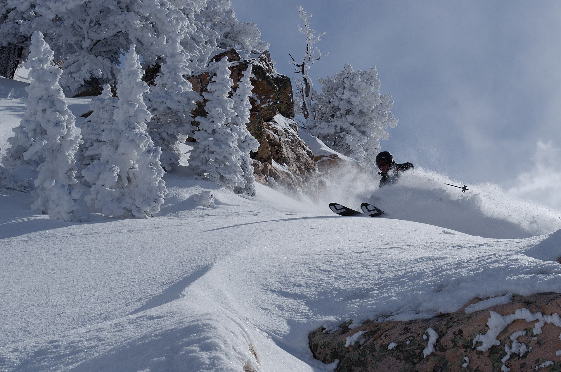
Those Games made the mountain famous. The men's Grizzly and women's Wildflower downhill courses, designed by Swiss Olympic champion Bernhard Russi, plunge nearly 3,000 feet off the John Paul ridge and are still regarded as two of the finest speed venues ever built — and they are expected to run again when the Winter Games return to Utah in 2034. Today the resort skis about 3,000 acres across roughly 3,000 vertical feet of bowls, glades, and famously immaculate groomers; in 2025 SKI Magazine, Outside, and USA Today each named it the best resort in the country.
Winter across the range
The Wasatch packs ten-plus ski areas into a range you can drive end to end in two hours, most of them within about an hour of Salt Lake City's international airport. Each canyon has a personality:
- Ogden area: Snowbasin's Olympic terrain, Powder Mountain's enormous ungroomed acreage — among the largest of any North American resort — and the family slopes of Nordic Valley.
- Central Wasatch: Alta (skiers only, and proud of it) and Snowbird in Little Cottonwood Canyon, where 500-inch seasons are routine; Brighton and Solitude in Big Cottonwood.
- Park City side: Park City Mountain and Deer Valley, grown from silver-mining ground into two of the largest destination resorts in the country.
- Nordic & jumping: Soldier Hollow's Olympic cross-country trails and the ski jumps of the Utah Olympic Park, both still training grounds for national teams.
Beyond the boundaries, the backcountry tradition runs deep — the Wasatch Powderbird helicopters, the ski-tour classics of the Wasatch Crest, and thousands of locals skinning up before work. Winter here is not a niche; it is civic infrastructure.
Summer and fall
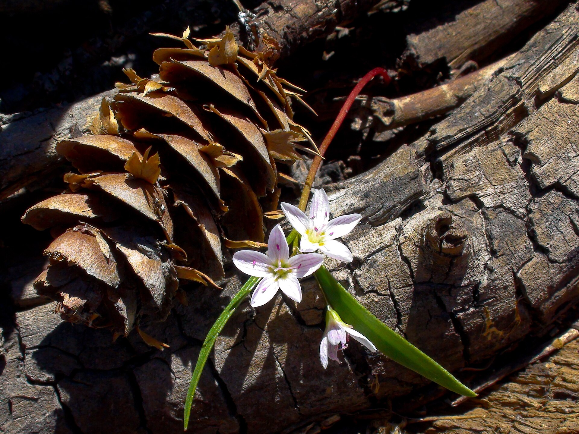
When the snow finally releases the high country in June, the same terrain flips seasons. Wheeler Creek and Icebox Canyon offer shaded hikes from Ogden Canyon toward the resort; the Middle Bowl cirques fill with glacier lilies, spring beauties, lupine, and paintbrush; and lift-served gondola rides carry hikers and mountain bikers to ridgeline singletrack with views across the Great Salt Lake to the west and the Uintas to the east.
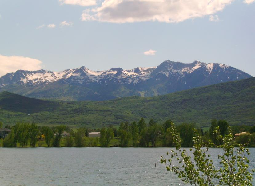
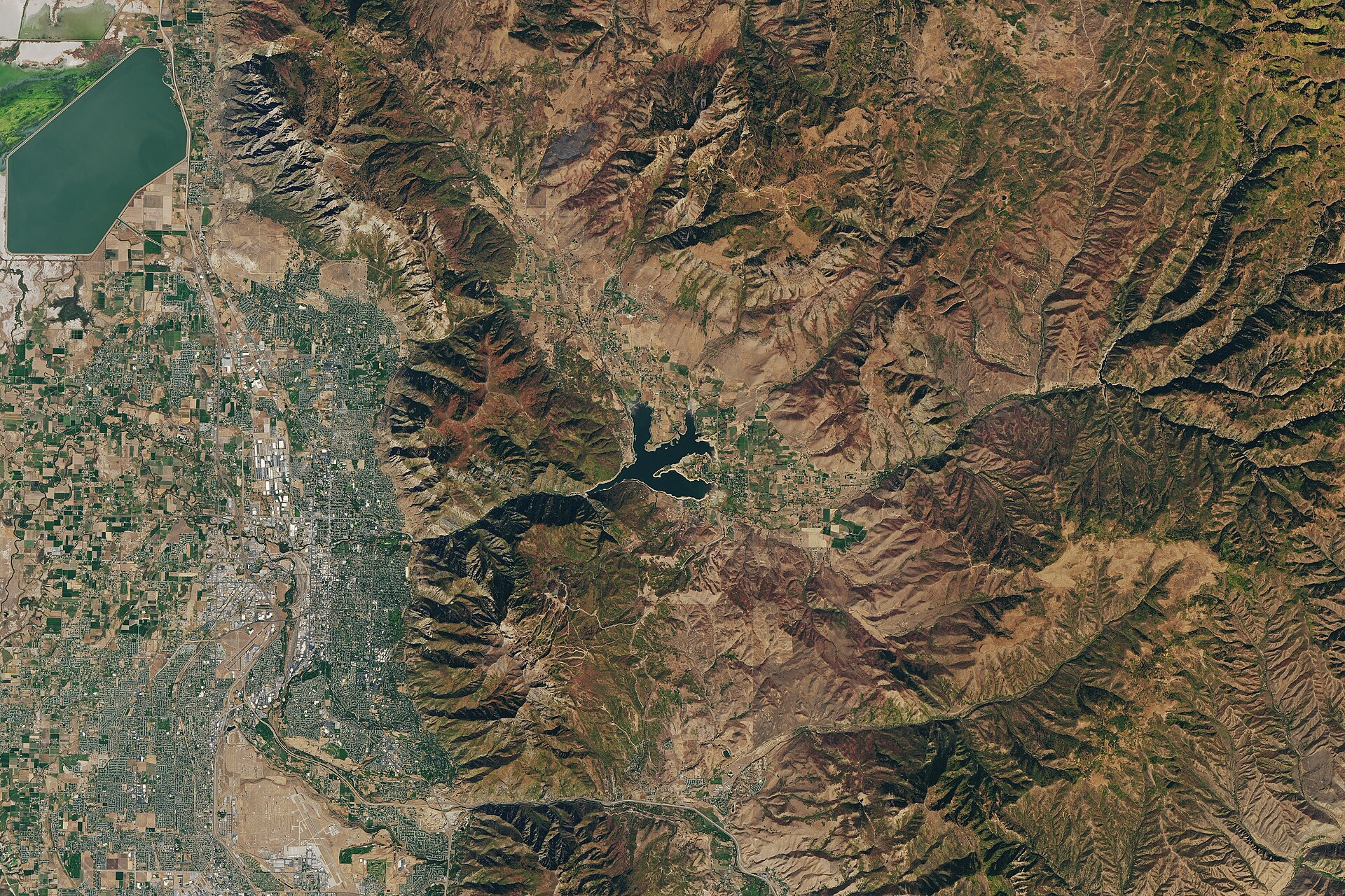
Down in Ogden Valley, Pineview Reservoir turns the old floodplain into a summer waterfront of sailboats, paddleboards, and swim beaches. Road cyclists loop the valley and climb Trappers Loop; anglers work the Ogden and Weber rivers. Come late September the range flares gold as the aspen turn — a show vivid enough that NASA's Landsat satellites photograph it from orbit.
Quick reference
| Area | Setting | Known for |
|---|---|---|
| Snowbasin | Mount Ogden, ~6,400–9,500 ft | 2002 Olympic downhills, groomers, no-crowds powder |
| Alta / Snowbird | Little Cottonwood, to ~11,000 ft | 500+ inch seasons, steep terrain, ski history |
| Powder Mountain | Above Eden, Ogden Valley | Vast ungroomed acreage, uncrowded slopes |
| Pineview Reservoir | Ogden Valley, ~4,900 ft | Summer watersports beneath ski peaks |
| Wasatch Crest / Bonneville Shoreline | Rangewide trail systems | Ridgeline biking; Ice Age shoreline walking |
Recreating responsibly
The Wasatch is a working landscape: the canyons above Salt Lake City and Ogden are protected municipal watersheds, and the recreation boom is real. A few habits keep the range healthy and its visitors alive:
- Watershed rules: several central-Wasatch canyons prohibit dogs and swimming to protect drinking water — check signage before you go.
- Avalanche awareness: outside resort boundaries, carry rescue gear and read the Utah Avalanche Center forecast, every single time.
- Winter driving: canyon roads enforce traction and chain requirements during storms; check the Utah Department of Transportation before driving up.
- Leave No Trace: pack out what you pack in, stay on trails through wildflower meadows, and give moose a wide berth — they are common in Ogden Valley drainages.
- Respect closures: restoration areas like the historic Wheeler Creek watershed exist because past generations loved the range carelessly. The recovery is the amenity.
New to the range? Start with the history to understand how this landscape was shaped, and the snow science to know when to chase a storm.